Not all Oro-Medonte waterfront offers the same experience. Before choosing a waterfront property here, look closely at shoreline access, the route from the house to the water, and approvals for any work you have in mind. Oro-Medonte sits on the northwest side of Lake Simcoe, and the Township describes its shoreline as nearly 40 kilometres long. Along it, the water's edge changes from one stretch to the next.
What is along Oro-Medonte's Lake Simcoe shoreline?
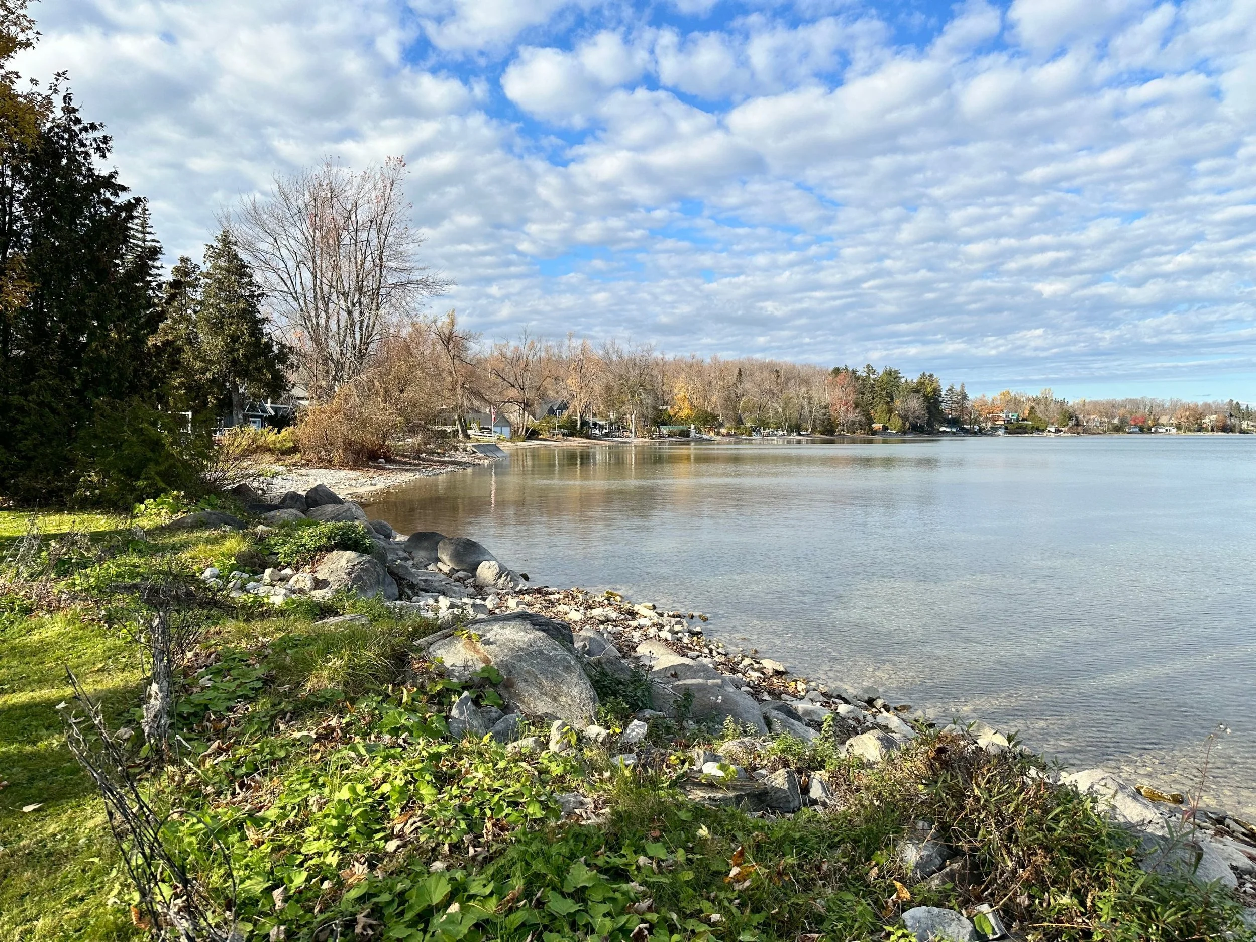
Along it you will find level, walk-in waterfront in some places and elevated lots with stairs down to the water in others, so the feel of the shore can change a lot from one neighbourhood to the next. The Township's parks and open spaces maps (2010) name these shoreline places: Moon Point, Eight Mile Point, Maplewood, Cedarmont Beach, Carthew Bay, Hawkestone, Oro Station, Shanty Bay and Arbourwood.
Where can you reach the water publicly?
The Township owns wharves at Hawkestone, at the bottom of Line 11 South, and at Shanty Bay, at the bottom of Line 2 South. A Township report dated 14 February 2024 describes both as well used by the community for swimming and fishing. At that time it recommended repairs at Hawkestone and consideration of longer-term options for Shanty Bay, and it considered continued interim use of the Shanty Bay wharf acceptable.
A shoreline you can see from the road or the water is not automatically one you can use.
Level or elevated: which waterfront suits you?
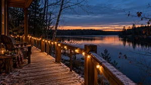
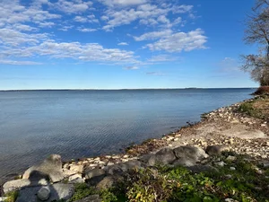
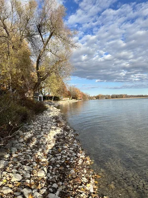
It depends on what you want from the water. Just as one stretch of shore can be rocky and the neighbouring one sandy, Oro-Medonte offers both level, walk-in waterfront and elevated waterfront with stairs down to the water. Each offers something different.
My take: Most buyers do walk down to the water, but some don't. They fall in love with the house and forget about the water, and that's where I come in: let's go down and see what it's all about. If easy access to the water matters most, look closely at the slope, footing and route to the shoreline. An elevated lot can offer a different perspective, but consider the stairs or path as well as the view. Either way, ask to see the property at the water's edge, not only from the house.
A few practical questions to ask on any waterfront showing:
- How do you get from the house to the water, and what condition are the stairs or path in?
- What is at the water's edge: natural shore, or a built structure?
- How does the shoreline look at high spring water and at lower fall levels?
What should you check before doing any work on the shoreline?
Before planning shoreline work, check with the Lake Simcoe Region Conservation Authority (LSRCA) about permits for the property and proposed work. Building, grading, and placing or removing material in regulated areas can require permission.
LSRCA's online map viewer is a starting point. The written description of regulated areas is what governs, so confirm with LSRCA staff before you plan work, and allow time. Their permit contact is regulations@lsrca.on.ca or 905-895-1281.
The Province can also require a work permit for structures that physically touch Crown shore land. Whether that applies depends on the work and the site, so confirm it for your plan. Municipal approvals may apply too. I can't tell you whether a particular dock or shore structure needs a permit. That is a question for the authorities, and the answer is worth having before you buy, not after.
What did spring 2026 look like on the lake?
Lake Simcoe peaked at 219.42 metres at Beaverton on 26 April 2026, below the 1960 high of 219.48 metres, according to an LSRCA Board presentation on 10 July 2026. I explained who decides lake levels, and why, in Who Decides How High Lake Simcoe Sits?.
Where can you find waterfront sales figures?
For dated, sourced sold-price information for Oro-Medonte, see the Oro-Medonte Lake Simcoe Facts page.
I'm happy to show you how a particular stretch of shoreline sits, from the public access points or from a property I'm showing you.
Sources
- Shoreline length: Township of Oro-Medonte community profile (2024)
- Place names: Township of Oro-Medonte parks and open spaces maps (2010)
- Wharves: Township staff report OCS 2024-02 (14 February 2024)
- Conservation authority permits: Lake Simcoe Region Conservation Authority permits
- Crown shore land work permits: Ontario.ca
- Spring 2026 levels: LSRCA Lake Simcoe Shoreline Flooding Update (Board presentation, 10 July 2026)